Sportsgrounds
Ngongotaha Domain
- Beside Ngongotaha Stream
- Two fields, one with floodlighting, and a toilet block with changing rooms
- Main road frontage on Beaumonts Road
- Additional vehicle access from Domain Avenue
- Used by Ngongotaha Rugby Club
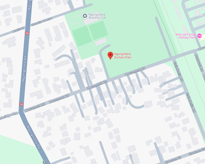
- Map location of Ngongotaha Domain - google map
Tamarahi Reserve
- Stembridge Road
- One soccer field and a practice area
- Home to the Ngongotaha Association Football Club
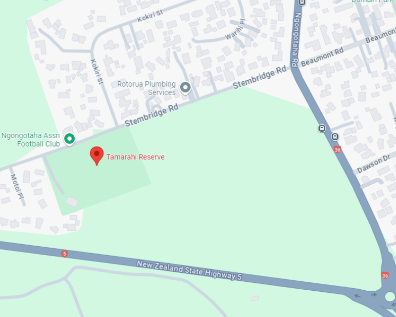
- Map location of Tamarahi Reserve - google map
Glenholme Reserve
- Miller Street
- One sportsfield and a toilet block
- Used for cricket in the summer and soccer in the winter
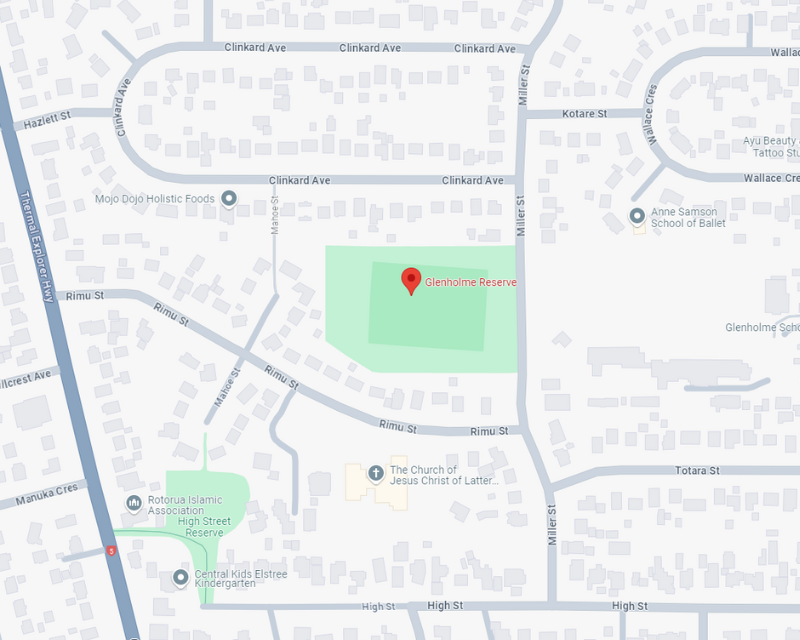
- Map location of Glenholme Reserve - google map
Jessie Martin Park
- Hood Street
- Toilet facilities
- One full-sized field
- Generally used for soccer
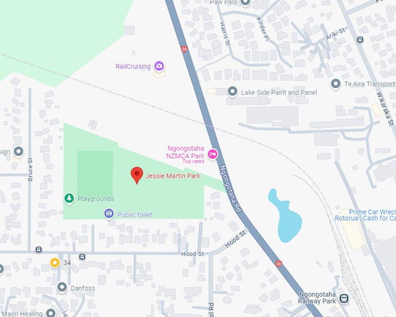
- Map location of Jessie Martin Park - google map
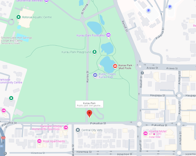
Kuirau Park
- Pukuatua Street
- Toilet facilities
- Rugby, cricket, touch and netball facilities
- Currently home to Kahukura Rugby Football Club, which has clubrooms on part of the reserve
- Map location of Kuirau Park - google map
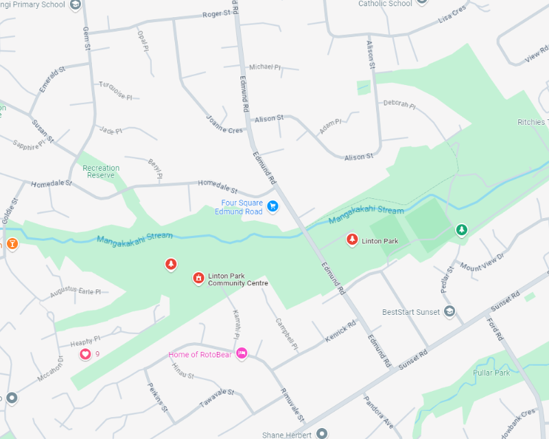
Linton Park
- Edmund Road
- Soccer and touch rugby fields, clubrooms, toilet block and changing facilities
- Used primarily by Rotorua Central Rugby League Club and Geyser City Touch Association
- Map location of Linton Park - google map
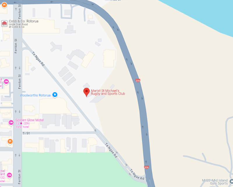
Marist St Michaels
- Te Ngae Road
- One rugby field and the Marist Michaels clubrooms
- Map location of Marist St Michaels - google map
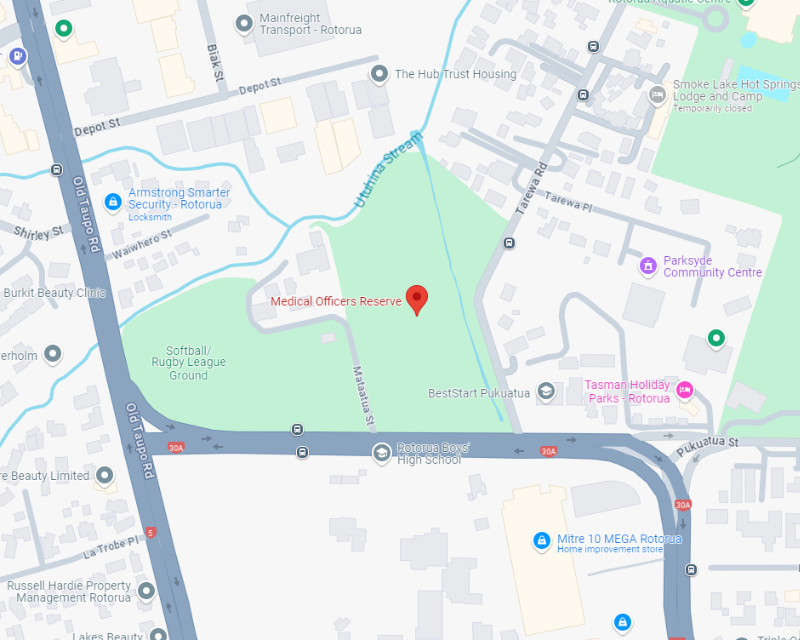
Medical Officers Reserve
- Pukuatua Street
- Two playing fields, floodlights, toilet and changing facilities
- Used for rugby league training in the winter and T-ball in the summer
- Map location of Medical Officers Reserve - google map
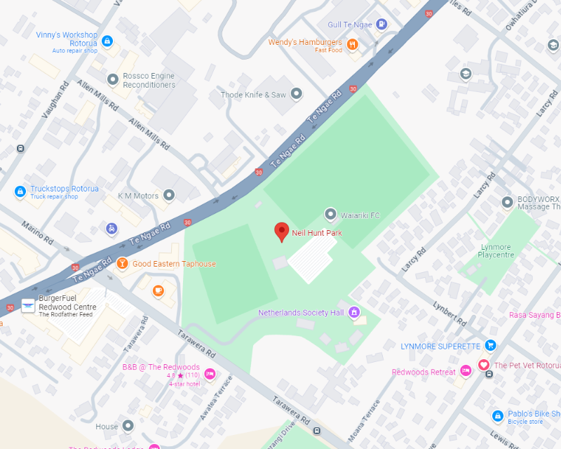
Neil Hunt Park
- Te Ngae Road
- Main access road onto Tarawera Road
- Used for cricket, rugby, softball and soccer
- Home to Rotorua United Football Club and Suburbs Soccer Club
- Map location of Neil Hunt Park - google map
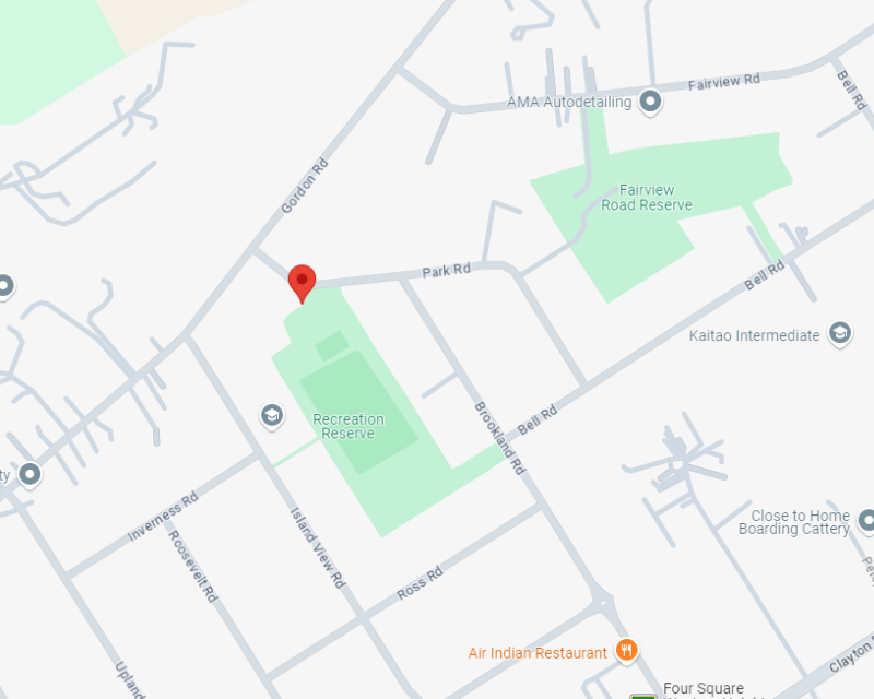
Park Road Reserve
- Park Road
- Playing fields, skate parks, play area, toilet facilities and changing rooms
- Used by several codes for training
- Map location of Park Road Reserve - google map
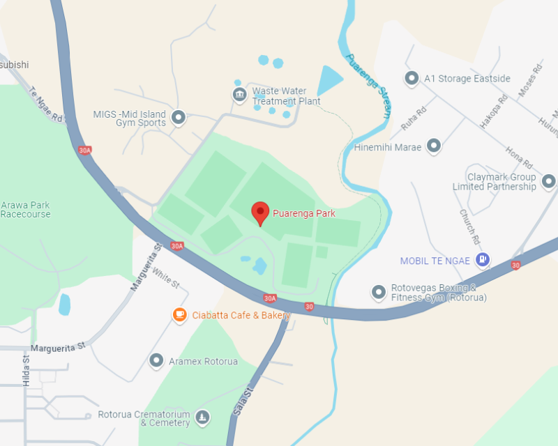
Puarenga Park
- Te Ngae Road
- Playing fields, toilets and changing rooms, clubrooms
- Home ground for junior soccer and the Whaka Rugby Club
- Map location of Puarenga Park - google map
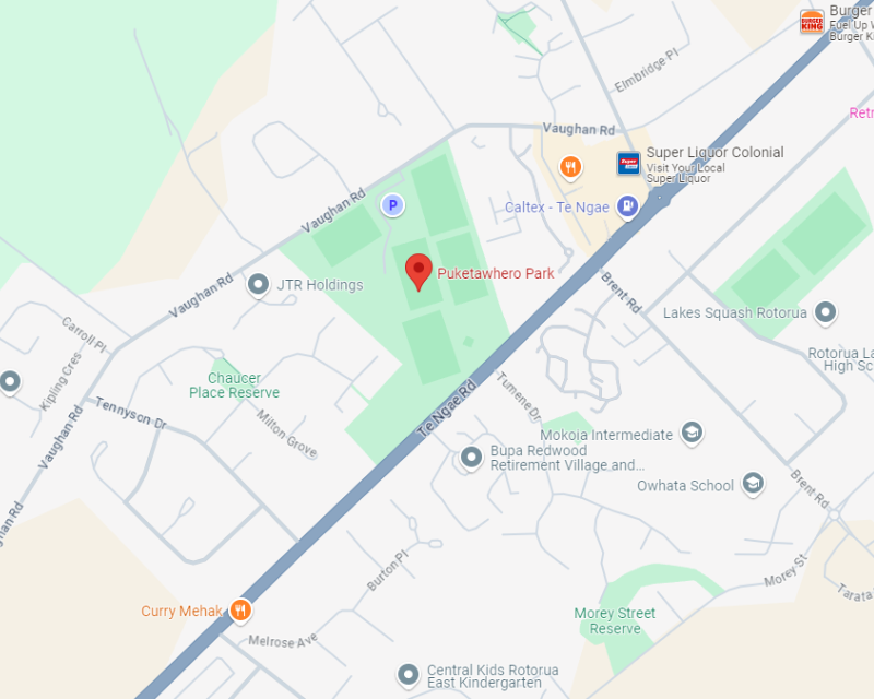
Puketawhero Park
- Between Te Ngae Road and Vaughans Road
- Mainly used for rugby league; skateboard ramp and half-court basketball in the overflow parking area on Te Ngae Road
- Fencing around fields 1 and 2 means that these can be charge grounds
- Map location of Puketawhero Park - google map
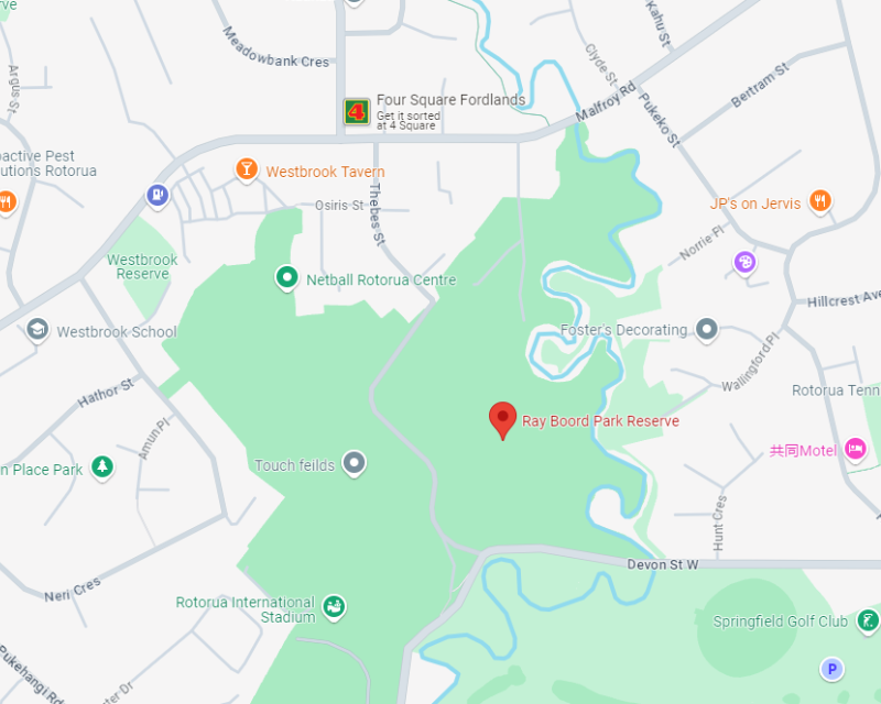
Ray Boord Park/Westbrook Reserve
- Devon Street
- Used for hockey, cricket and rugby
- Map location of Ray Boord Park/Westbrook Reserve - google map
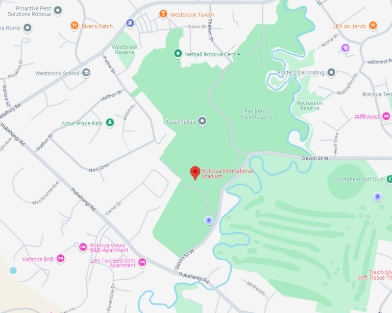
Rotorua International Stadium
- Administered by Events & Venues
- Rotorua International Stadium - Events & Venues website
- Map location of Rotorua International Stadium - google map

Rowi Street Reserve
- Rowi Street
- Two sportsfields
- Used for overflow of soccer in the winter and cricket in the summer
- Map location of Rowi Street Reserve - google map
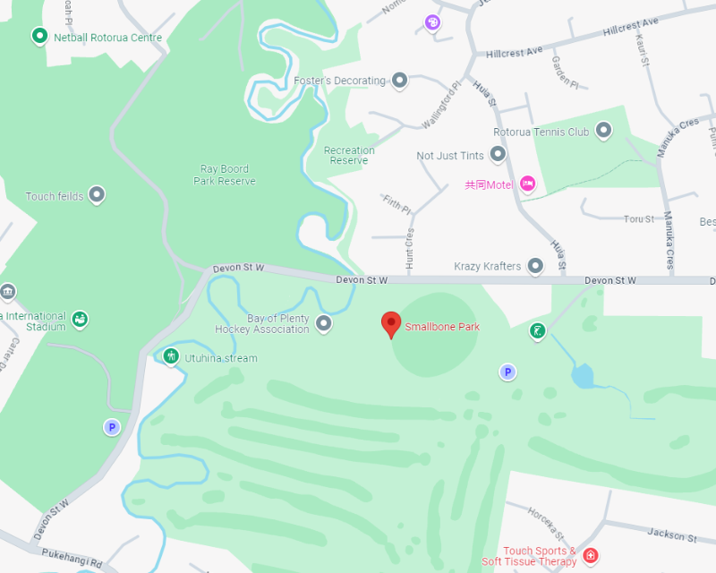
Smallbone Park
- Devon Street
- Cricket pitches, home to Rotorua Cricket Association
- Artificial hockey turfs leased by the Hockey Association
- Map location of Smallbone Park - google map